Death Valley National Park
Death Valley National Park
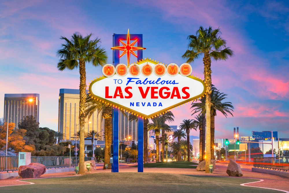
Located 210 km from Las Vegas, Death Valley National Park encompasses the lowest point in North America, colorful canyons, and records for planetary heat.
210 km west of Las Vegas, Death Valley National Park stretches between the Sierra Nevada and the Panamint and Amargosa mountain ranges, in southeastern California. Spanning 13,650 km², it is the largest national park in the contiguous États-Unis, and one of the hottest and most arid places on the planet. This guide brings together the essentials for planning your visit: sites to see, seasonality, access, and practical advice.
Why visit Death Valley
The park concentrates rare geological diversity: sand dunes, salt marshes, canyons sculpted by erosion, mountains rising above 3,000 meters, and mineral palettes in pastel hues. It is also a terrain for observing climatic extremes. The absolute heat record on Earth was registered here: 56.7 °C at Furnace Creek on July 10, 1913. More recently, a temperature of 54.4 °C was recorded in August 2020, among the highest reliable values ever measured.
The valley is part of the Mojave Desert and is home, despite extreme conditions, to adapted wildlife: coyotes, bobcats, kit foxes, rattlesnakes, scorpions, tarantulas, and Bighorn sheep in rocky high-altitude zones. Approximately 300 people live year-round in the valley, mainly at Furnace Creek.
History and geology
The current landscape results from a long series of geological events: volcanic episodes, tectonic movements, and the drying of great prehistoric lakes that left thick deposits of salt and clay. Wind and water erosion subsequently sculpted the ravines, rocky peaks, and colored gorges that visitors traverse today.
The area was inhabited by the Timbisha Shoshone people long before the arrival of gold seekers and mining companies in the nineteenth century. The site was protected as a national monument beginning in 1933, then elevated to national park status in 1994. The founding decree dates to February 1933, under the Hoover administration.
What to see in the park
Badwater Basin
The lowest point in North America, at 85 meters below sea level. A wooden boardwalk leads onto the immense expanse of salt cracked into hexagonal patterns. On Badwater Road, several pullouts offer views of salt marshes and ephemeral lakes.
Zabriskie Point and Dante's View
Zabriskie Point offers a sweeping view over rolling badlands, particularly striking in raking light. Higher up, Dante's View peaks at 1,866 meters in the Black Mountains and dominates the entire valley and Badwater Basin. The access road from Furnace Creek measures approximately 25 km.
Golden Canyon and Red Cathedral
Golden Canyon is a narrow canyon with ochre walls, accessible by a round-trip trail of approximately 5 km. At the end of the route, the red cliff of Red Cathedral closes the vista. The sector served as the setting for scenes from Star Wars (Episode IV).
Artist's Drive and Artist's Palette
This one-way road of approximately 15 km winds through the foothills of the Black Mountains. The main stop, Artist's Palette, showcases an outcrop with pink, green, and ochre hues, caused by the oxidation of different minerals.
Mesquite Flat Sand Dunes and Devil's Golf Course
The Mesquite Flat dunes, accessible near Stovepipe Wells, are the easiest to reach in the park. Further south, Devil's Golf Course is an expanse of bristling salt crystals, a remnant of an ancient dried lake.
Wildrose Charcoal Kilns
Ten stone charcoal kilns, lined up at the foot of the Panamint, perfectly preserved. Built to produce charcoal destined for mining foundries, they were operational only between 1877 and 1879 before the company turned to cheaper fuels.
Racetrack Playa
In the north of the Panamint Mountains, this salt flat is known for its « sailing stones », rocks that move slowly across the clay surface while leaving straight furrows behind them. The phenomenon, long mysterious, is explained by the winter formation of thin ice sheets pushed by wind. Access is via a rocky track requiring a vehicle with high ground clearance.
When to visit
The favorable season extends from October to April, when daytime temperatures remain manageable (15 to 25 °C on average). From May to September, heat frequently exceeds 45 °C and any outdoor activity during the day becomes inadvisable, even dangerous.
In years with sufficient winter rainfall, a desert bloom occurs between February and April, with carpets of ephemeral wildflowers. Joshua trees (emblematic yuccas of the Mojave) are visible year-round, notably in the higher-altitude sectors of the park.
Practical information
The park is open year-round, 24/7. A per-vehicle entrance fee applies, valid for several consecutive days; budget a moderate rate. If you plan to visit multiple national parks within the year, the America the Beautiful pass is more advantageous. Payment is usually made via self-service automated kiosks at entrances and visitor centers.
Three main visitor centers dot the park: Furnace Creek (the most comprehensive), Stovepipe Wells, and Scotty's Castle (currently undergoing restoration following the 2015 floods). You'll find maps, ranger advice, and water sources.
To prepare: large quantities of water (at least 4 liters per person per day), hat, sunglasses, sunscreen, protective clothing. Fill up with fuel before entering the park: internal stations are rare and expensive. Mobile coverage is very limited.
For accommodations, Furnace Creek concentrates the main offerings: The Inn at Death Valley (luxury), The Ranch at Death Valley (family-friendly, with restaurants and pool), and several campgrounds managed by the National Park Service. Stovepipe Wells also offers a simpler lodge.
How to get there
From Las Vegas, the most scenic route takes NV-160 W, then CA-127 and CA-178 to reach Furnace Creek (approximately 2.5 hours of driving, 210 km). Another classic access passes through Beatty (Nevada) via US-95 then NV-374. From Los Angeles, allow approximately 4.5 hours via US-395 and CA-190.
A personal or rental car remains essential: there is no regular public transportation serving the interior of the park. A few guided excursions depart from Las Vegas for day trips, but cover only a fraction of the sites.
What to see in the region
Death Valley integrates easily into a larger circuit through the American West. Las Vegas serves as the obvious logistical base, 2.5 hours' drive away. Further north, Crater Lake National Park in Oregon offers a striking contrast with its high-altitude blue waters. For road art enthusiasts, Cadillac Ranch in Texas and Cave of the Winds in Colorado round out a western American itinerary.
Frequently asked questions
The highest temperature ever recorded is 56.7 °C, measured at Furnace Creek on July 10, 1913. More recently, 54.4 °C was recorded in August 2020.
A full day allows you to see the major sites (Badwater, Zabriskie Point, Artist's Drive, Golden Canyon). For Racetrack Playa and northern sectors, two to three days are recommended.
Wildlife includes coyotes, bobcats, kit foxes, rattlesnakes, scorpions, tarantulas, and at altitude, Bighorn sheep. Several lizard species are also well adapted to the heat.
Furnace Creek concentrates the main offerings with The Inn at Death Valley (luxury) and The Ranch at Death Valley (more family-oriented). Several campgrounds are managed by the NPS, and Stovepipe Wells offers a simpler lodge.
To integrate Death Valley into a broader itinerary, consult our États-Unis travel guide.
Interested in this visit?
We can include it in your personalised itinerary.