Mount Rainier
Mount Rainier
Approximately 95 km from Seattle, Mount Rainier is an active glacial volcano standing 4,392 m high, the heart of a national park with layered ecosystems and unique glacial caves.
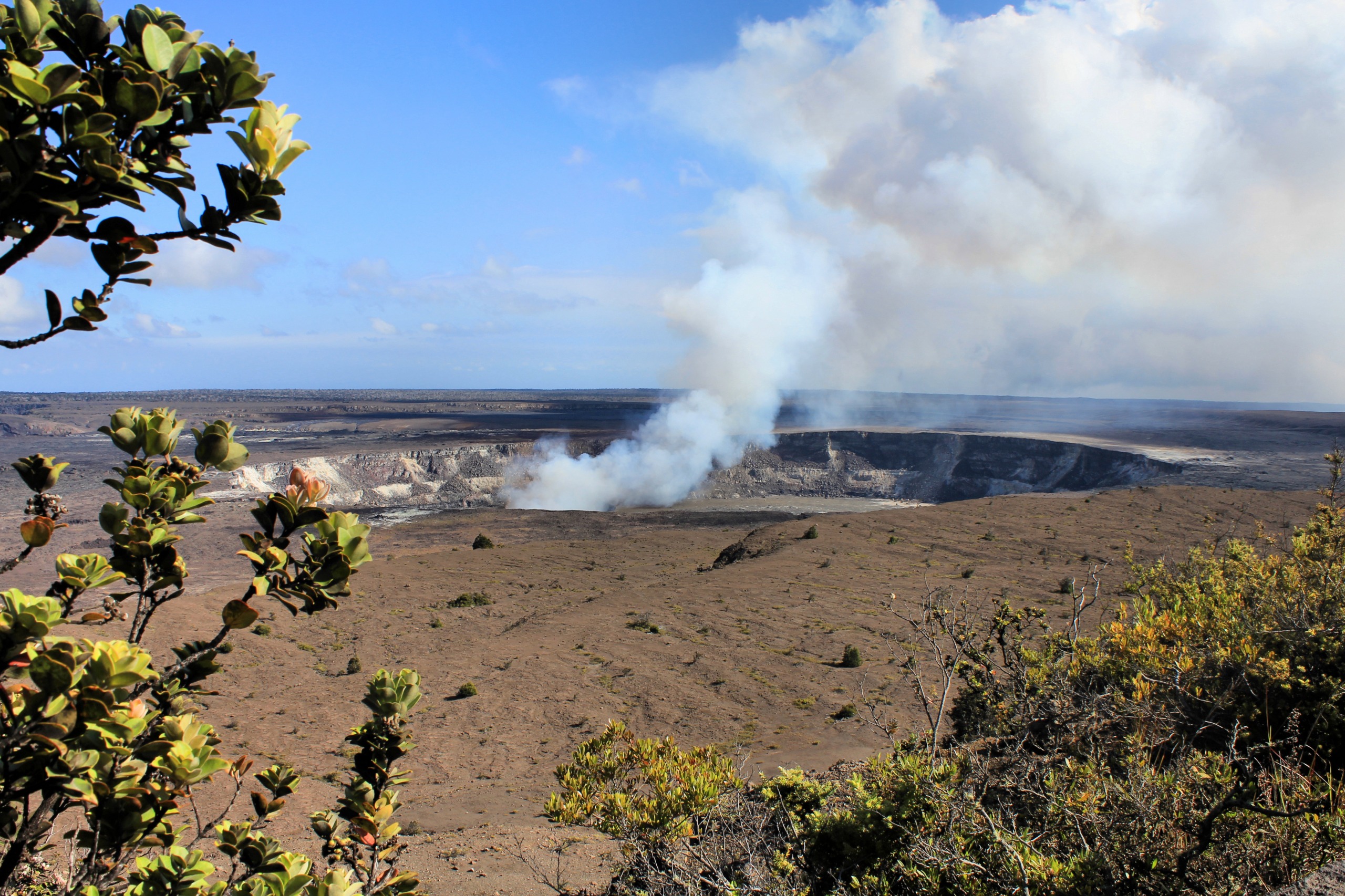
About 95 km south-southeast of Seattle, Mount Rainier rises above Washington State at 4,392 m. An active stratovolcano under close surveillance, it harbors the largest glacial system in the contiguous États-Unis and forms the heart of the national park bearing its name. Locally called "the Mountain," it can be seen on clear days from Seattle, Portland, and as far north as Victoria in Canada.
Why Visit Mount Rainier
Mount Rainier embodies three identities: an active volcano with genuine geologic hazards, a major high-altitude glacial summit, and a preserved mountain ecosystem spanning roughly 250 km². It is the third-highest peak in the États-Unis and the one with the most extensive glacial coverage of the 48 contiguous states.
The park concentrates ancient low-altitude forests, subalpine meadows blooming in summer, glaciers, summit craters, and the world's largest known network of glacial caves of volcanic origin. This diversity of elevation, compressed over just a few kilometers, makes it rare terrain for hikers, mountaineers, and naturalists alike.
Geologic and Human History
The massif formed 2 to 3 million years ago as a result of convergence between the Juan de Fuca and North American plates. Its earliest eruptions date back approximately 840,000 years. Five thousand years ago, the Osceola debris avalanche profoundly reshaped its topography by projecting a considerable volume of material into the valleys below.
The summit was named in 1792 by British explorer George Vancouver in honor of Admiral Peter Rainier. The first documented ascent occurred in 1870 by Hazard Stevens and Philemon Van Trump. The last significant eruption occurred between 1820 and 1854, followed by residual activity until 1894. The volcano remains classified as active and is under constant monitoring, particularly due to the risk of lahars—mudflows capable of reaching the urban areas of Tacoma and Kent.
What to See and Do
Summit, Craters, and Glaciers
Mount Rainier has three main peaks: Columbia Crest, the highest, followed by Point Success and Liberty Cap. Two craters crown the summit, the largest being the west crater. Beneath the ice, approximately 3.2 km of passages form the world's largest known network of volcanic glacial caves. West of the main crater, a crater lake is covered by roughly 30 m of ice thickness.
Fauna and Flora
The park is home to 159 bird species, 63 mammals, 16 amphibians, 5 reptiles, and 18 fish species. Among emblematic species are the spotted owl, bald eagle, peregrine falcon, black-tailed deer, black bear, and elk.
Vegetation is arranged in elevation bands:
- At lower elevations, dense forests of Douglas fir and California giant cedar;
- At mid-elevations, subalpine hemlock, Nootka cypress, and whitebark pine;
- Above 2,000 m, rocky alpine vegetation, then snowfields and glaciers.
Activities
Hiking, mountaineering, cycling, camping, and wildlife observation in summer; snowshoeing and cross-country skiing in winter. Summit ascent, requiring technical and glacier expertise, demands confirmed experience and a permit issued by the park service.
When to Visit
The climate is high-altitude continental. Annual average temperature hovers around 4°C, precipitation reaches approximately 1,500 mm per year, and snow accumulation averages 16 m annually in the Paradise area—one of the snowiest settled places on the planet.
- Late June through September: optimal period for hiking, blooming subalpine meadows, and full access to park roads.
- May and October: shoulder seasons with partial access depending on snowmelt.
- November through April: winter sports around Paradise, with access limited to southern sectors.
Practical Information
The park is open year-round, but most interior roads operate only from late May through early October. A per-vehicle entrance fee is collected at each entry station and is valid for several days. Ascents beyond 3,000 m require a paid mountaineering permit.
Five visitor centers (Paradise, Longmire, Sunrise, Ohanapecosh, Carbon River) offer maps, exhibits, and ranger advice. Historic lodge accommodations at Longmire and Paradise, with developed campgrounds distributed throughout the park.
How to Get There
Mount Rainier has several access points depending on season and the sector you intend to visit.
- Paradise Road / WA706: main entrance via Nisqually, 28 km through Longmire to the Paradise visitor center (1,645 m). Open year-round, it is the most reliable access route.
- Sunrise Park Road: 23 km leading to the northeast sector, accessible from late May through early October.
- Stevens Canyon Road: 32 km connecting the southeast entrance to Paradise, open from late May through early October.
- Carbon River: northwest entrance, closest to Seattle (100 km) and Tacoma (65 km). Vehicle access to the base of Carbon Glacier is prohibited.
- WA165: passable only in summer, reaching Mowich Lake (1,510 m), with ranger station, primitive camping, and picnic area.
On the eastern side, WA410 and Chinook Pass connect Yakima, approximately 105 km from the park.
Nearby Attractions
Seattle is the logical urban base from which to explore Mount Rainier in two to three hours of driving. Lovers of American national parks can extend their itinerary to other emblematic Western sites such as Bryce Canyon National Park or Canyonlands National Park, in neighboring Utah.
FAQ
Frequently asked questions
Extending Your Itinerary
Mount Rainier fits naturally into a circuit through the northwestern États-Unis. To plan a custom journey including national parks and Pacific coastal cities, consult our États-Unis trips.
Interested in this visit?
We can include it in your personalised itinerary.