Golden Gate Bridge
Golden Gate Bridge
Inaugurated in 1937, the Golden Gate Bridge connects San Francisco to Marin County. History, viewpoints, walking, cycling or boat crossings: everything you need to know to visit.
The Golden Gate Bridge connects San Francisco to Marin County by spanning the strait that provides access to the bay. Inaugurated in 1937, this suspension bridge spanning 2,737 meters is one of the most recognizable structures in the world, both for its silhouette and its International Orange color. Here's what you need to know before visiting: history, viewpoints, crossing methods and practical advice.
Why visit the Golden Gate Bridge
The Golden Gate Bridge ranks among the seven wonders of the modern world according to the American Society of Civil Engineers. Its deck suspended more than 60 meters above the strait, its Art Deco pylons reaching 227 meters and its orange hue contrasting with the blue ocean make it both a visual landmark and a reference engineering achievement.
Beyond the monument itself, a visit offers multiple perspectives: walking across the deck, cycling to Sausalito, cruising beneath the cables, or simply observing from one of the many viewpoints dotting both shores.
History and construction
Before the bridge, only ferries connected San Francisco to Marin County, a slow crossing subject to Pacific winds. The project emerged in the 1920s but faced considerable opposition: the U.S. Navy saw it as a strategic obstacle to its ships, and the Southern Pacific Company feared it would undermine its ferry monopoly.
Engineer Joseph Strauss championed the project, supported by architect Irving Morrow, who defined its Art Deco style and chose International Orange as its color, and by Charles Alton Ellis, responsible for structural calculations and long overlooked in official tributes. Construction began in 1933, during the Great Depression, and employed thousands of workers facing strong currents, fog and winds.
Construction finished in just over four years, in 1937, on time and within budget. The Golden Gate Bridge held the record as the world's longest suspension bridge until 1964, when the Verrazzano-Narrows Bridge opened in New York.
Key characteristics and figures
- Total length: 2,737 meters
- Height of pylons: 227 meters above water level
- Height of deck: more than 60 meters above the strait
- Main cables: more than 129,000 km of steel wire combined, roughly three times around the Earth
- Traffic lanes: six lanes for vehicles, plus two side passages for pedestrians and cyclists
- Official color: International Orange, chosen for visibility in fog and harmony with the landscape
What to see and do
The Welcome Center
On the San Francisco side, at the south end of the bridge, the Welcome Center features a permanent exhibition on the structure's history, construction phases and key figures. It also has a map of viewpoints. Admission is free, and several parking lots and bus stops are nearby.
Fort Point National Historic Site
Built against the south pylon, this Civil War-era brick fortress protected the entrance to the bay. Its roof offers one of the most striking angles of the bridge arch, seen from below. Admission is free.
Main viewpoints
- Battery East Vista (south side): close-up view of the bridge's east section, with San Francisco's skyline in the background.
- Golden Gate Overlook (Presidio): framed by trees, more intimate, accessible via a hiking trail.
- Marshall's Beach: secluded beach to the southwest, accessible via a steep trail, with views of the bridge framed by cliffs.
- Vista Point (Marin side): the official viewpoint at the foot of the north pylon, with ample parking but often crowded in high season.
- Conzelman Road (Marin Headlands): scenic drive with several pullouts, ideal for wider angles including the ocean.
- Battery Spencer: former military battery a short walk from Vista Point, offering a nearly frontal view of the north pylon.
- Fort Baker: historic site transformed into a welcoming space, quieter, with lawns and bay access.
Walking across the bridge
Two side sidewalks are open to pedestrians according to variable hours and weather conditions. On the San Francisco side, access is from the Welcome Center. Plan about an hour for a partial round trip to the first pylon, longer for a complete crossing. A windproof jacket is recommended, as the deck is exposed.
Cycling across
Biking is one of the best ways to cross the bridge. Rentals are easily available from Fisherman's Wharf. Many continue to Sausalito on the north shore and return to San Francisco by ferry with their bikes. Bike lanes are not accessible all day: verify open times before you go.
Bay cruise
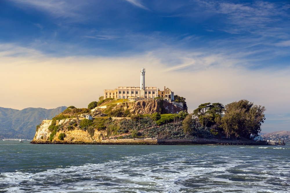
Several companies offer hour-long cruises passing under the bridge and along Alcatraz. Departures are mainly from Pier 39, Pier 43½ and the Ferry Building. Advance booking is recommended in high season, and a jacket is advised onboard.
Practical information
Toll: crossing is paid only in the northbound direction (heading into San Francisco). No physical barrier: an automated license plate recognition system records the crossing. Payment is made online within 48 hours.
Welcome Center: open daily during daylight hours. Hours may vary by season; verify before visiting.
Time to allow: 30 minutes for a quick viewpoint stop, 1 to 2 hours for a partial walk on the deck, and a half-day to combine the Welcome Center, Fort Point and multiple viewpoints.
Accommodation: the Presidio, Marina and Fisherman's Wharf areas offer the most convenient lodging to reach the bridge on foot, by bike or bus.
Best time to visit
Light is most favorable early morning and late afternoon. Fog, common in summer (especially June–August), can completely shroud the deck midday: sometimes spectacular, sometimes disappointing. Spring and autumn generally offer better visibility. Check local weather before heading up to Marin Headlands, where temperatures can vary noticeably from downtown.
How to get there
- By car: follow US-101 North from downtown. Parking at the Welcome Center (south) and Vista Point (north).
- By bus: PresidiGo Shuttle, Muni 28, Muni 30 and Golden Gate Transit serve the bridge area.
- By bike: marked routes from Fisherman's Wharf and the Presidio, with ferry return from Sausalito.
- On foot: allow 30 to 45 minutes from Marina District via Crissy Field.
Nearby and elsewhere in the United States
San Francisco makes for a multi-day stay combining the bridge, Alcatraz, historic neighborhoods and urban parks. If you head further south into California, stops like Beverly Hills, Bel Air or Disneyland structure a classic itinerary. For a shift toward natural landscapes, Antelope Canyon in Arizona and the Cave of the Winds in Colorado provide geological counterpoints to urban engineering marvels.
Frequently asked questions
Frequently asked questions
The toll applies only in the northbound direction, toward San Francisco. Walking or cycling across is free. Payment is made online without a physical barrier, within 48 hours thanks to automated license plate recognition.
Yes, two side sidewalks are open to pedestrians according to variable hours and weather conditions. The most convenient access is from the Welcome Center on the San Francisco side.
Fog is frequent, especially in summer. It can completely cover the deck for several hours. Early morning, spring and fall generally offer better visibility.
Ferries connect Sausalito to the Ferry Building and Pier 41 in San Francisco, with bike boarding available. Check late-day schedules, particularly in off-season.
The official shade is International Orange, sometimes described as reddish-orange. It was chosen by architect Irving Morrow for visibility in fog and its blend with the landscape.
Plan your trip
The Golden Gate Bridge combines naturally with an in-depth visit to San Francisco and the California coast. To build a custom itinerary, consult our trips to the United States.
Interested in this visit?
We can include it in your personalised itinerary.